
Wayfinding Design – Data Collection

We gather knowing fast
We turn the existing buildings into virtual tours
We tour the yet-to-be-built in 3D
Existing Buildings
Photography

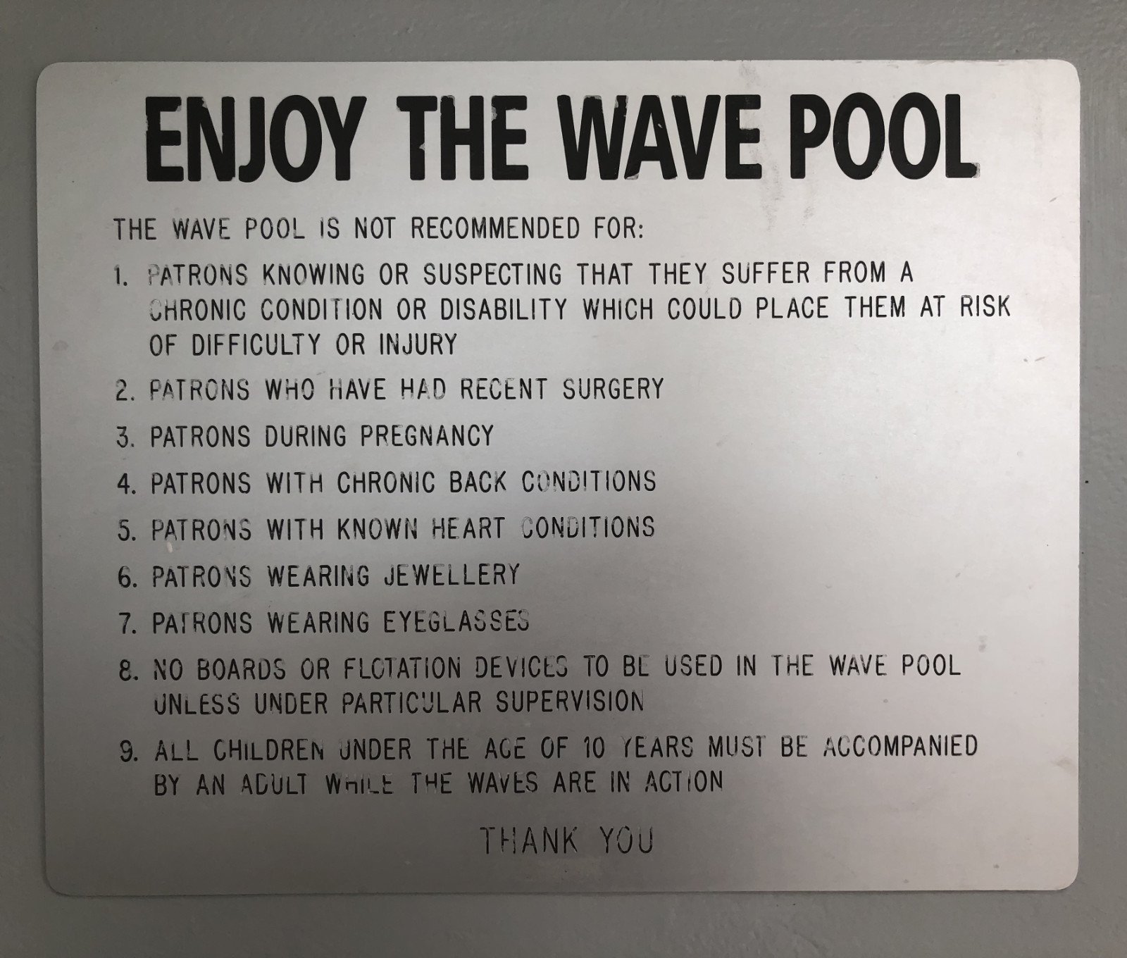
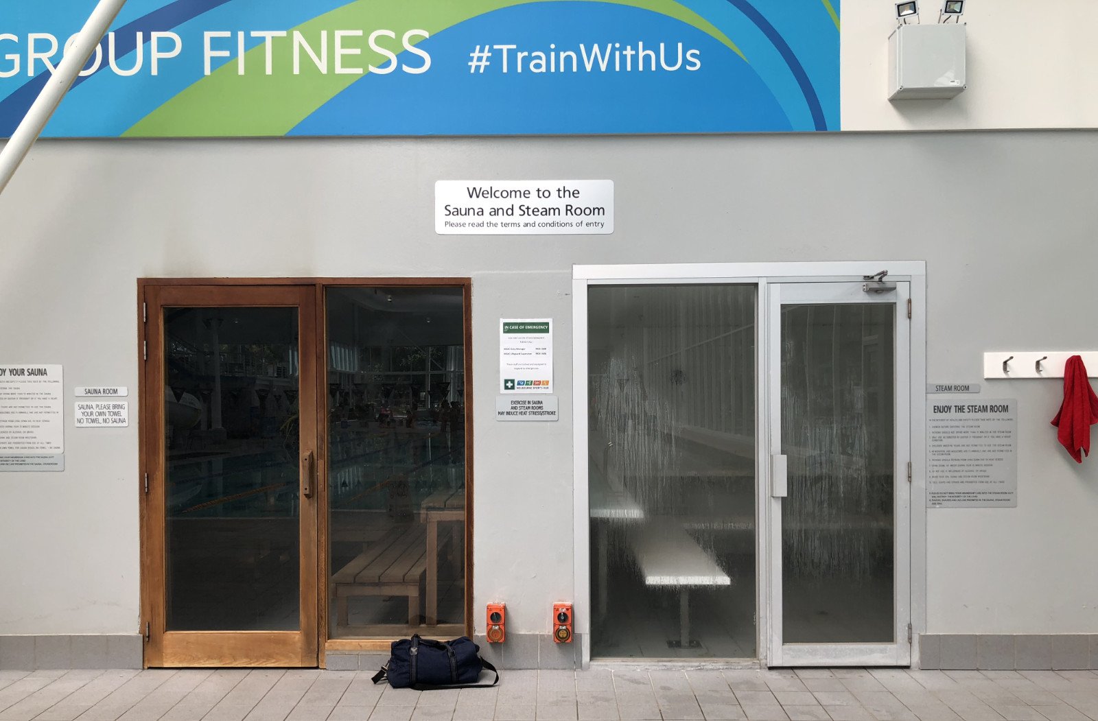
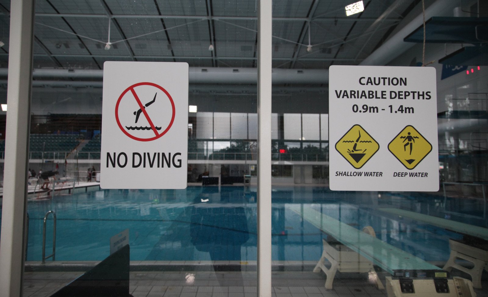
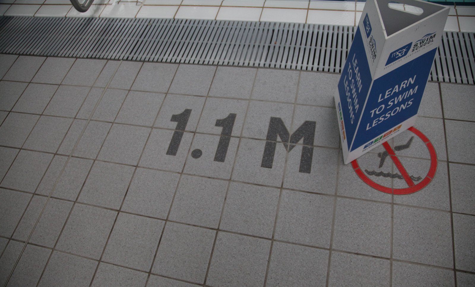
Existing sites are a rich world of data and user experience. How people use and understand the space is written on the walls and floors. What needs work is clear as day to those on the floor. Often the issue is brought to a head through site expansion, rebranding or renovation. This is the opportunity to bring genuine improvements to the visitor experience, traffic flow and business operation.
We look for ways to improve the wayfinding systematically while we gather years of on-site user experience. From there we produce an audit of your sign stock.

Existing Buildings
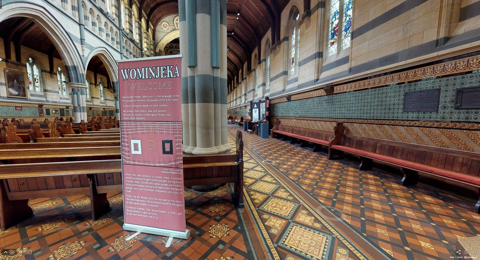
PointCloud Scanning
The site is captured and becomes a detailed interactive model. A 3D photographic record capturing masses of fine detail within its spatial context.
A reference all project consultants can access.
This example of St Paul’s Cathedral in Melbourne demonstrates the capacity to record massive amounts of detail in all of its complexity. With an asset like this we are able to view and review - forwards, backwards up down – at any time.
And so can the whole team.
Go ahead, take a look around.
Existing Buildings
360º Video
A comprehensive live capture of the environs in 360 video allows for the footage to be paused at any point and then camera rotated to look in any direction. A photographic sweep of every detail for future reference.
It’s fast. It’s detailed.
The original footage is captured in 5.7K resolution. This allows us to zoom into details and snapshot views. Low res versions can be uploaded to Youtube on secure links for simple distribution to the team and stakeholders.
Sound down, its was windy.

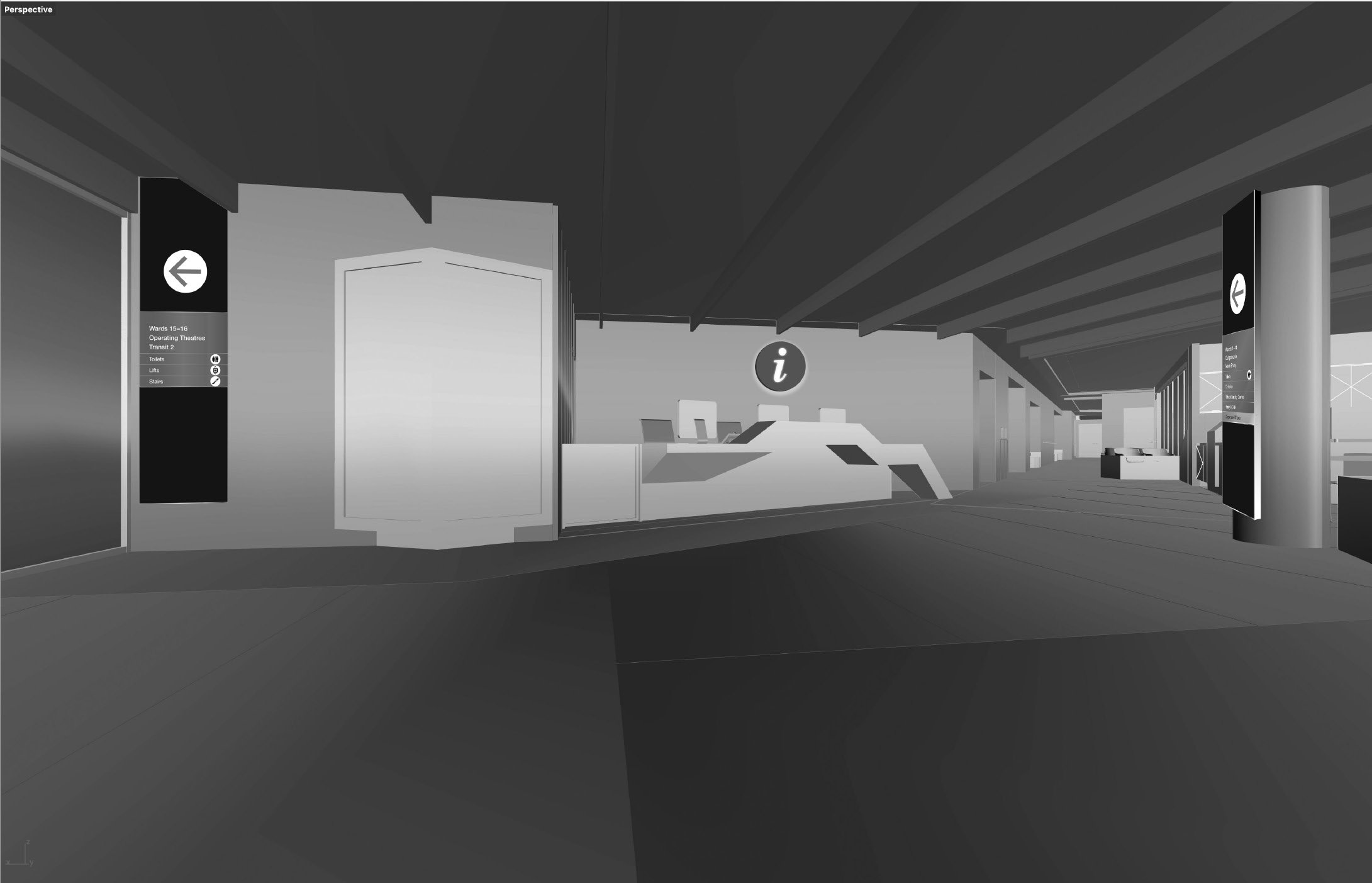
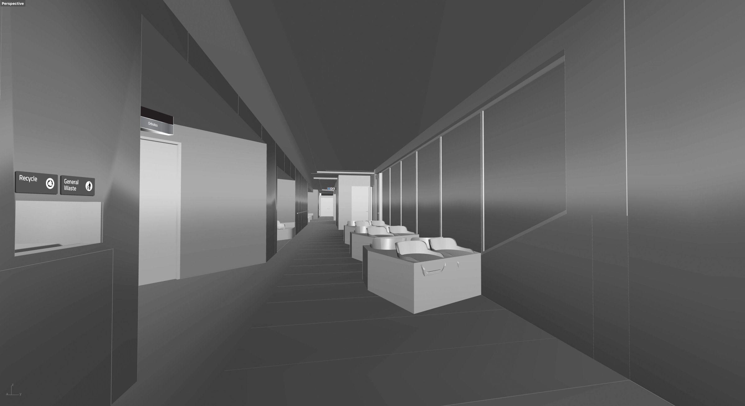
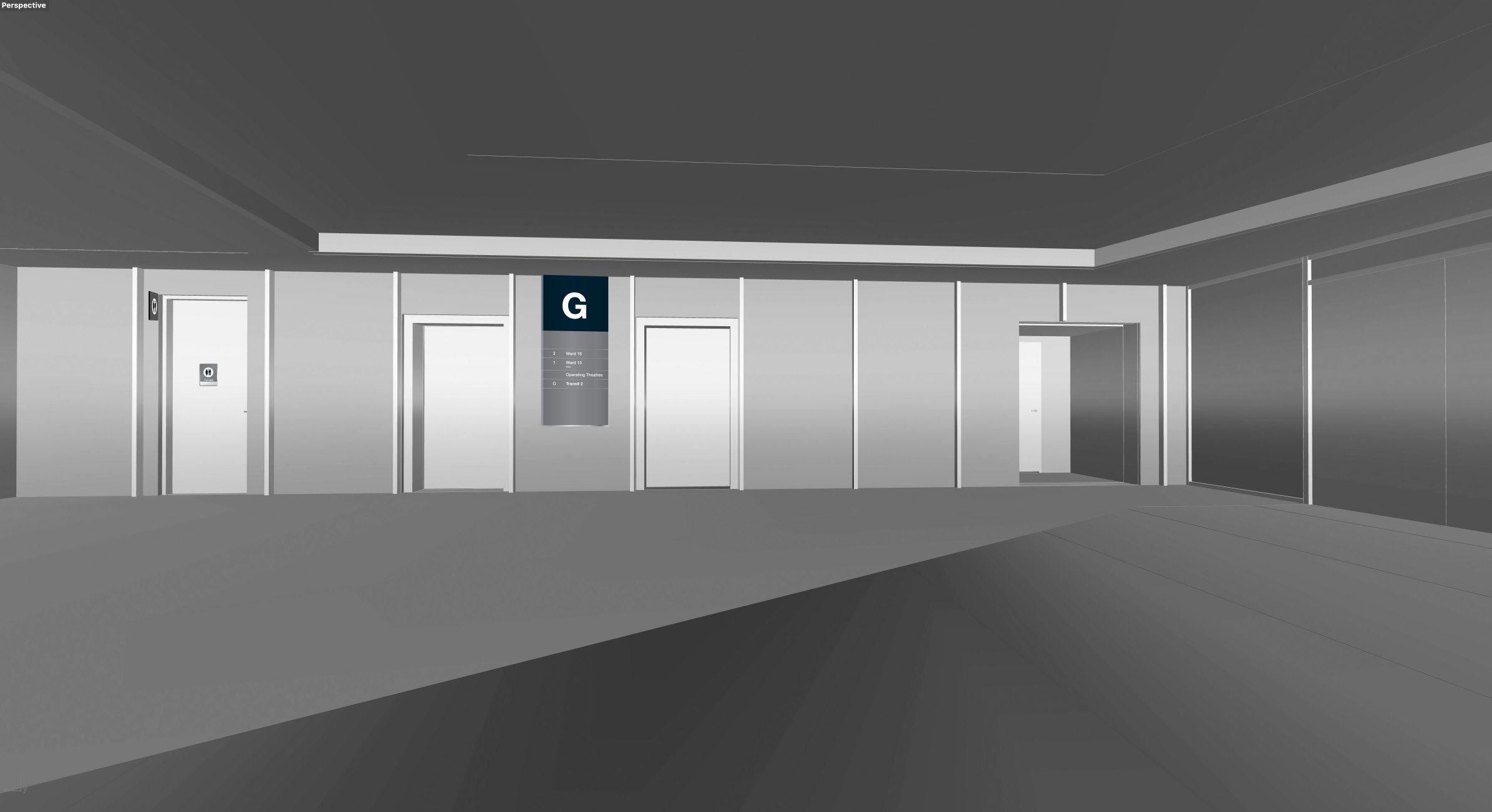
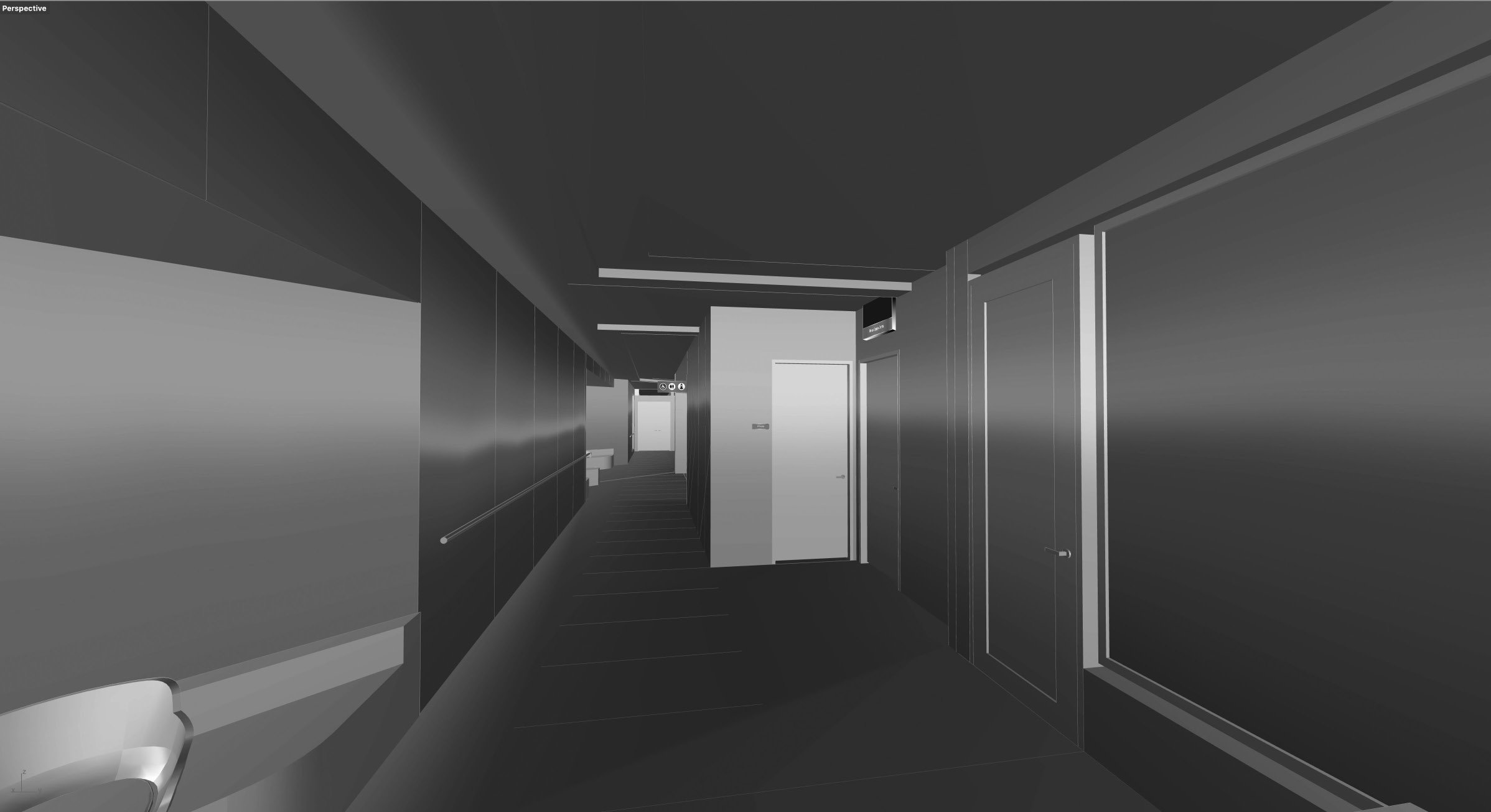
New construction
ACAD Model Views
A thorough walk through of the building model is undertaken with snapshots of the views collected for our own working reference. We use Rhinoceros to explore and understand architectural models.
We can also read plans.
“We need to know where everything is,
what it’s called and how to get there. ”